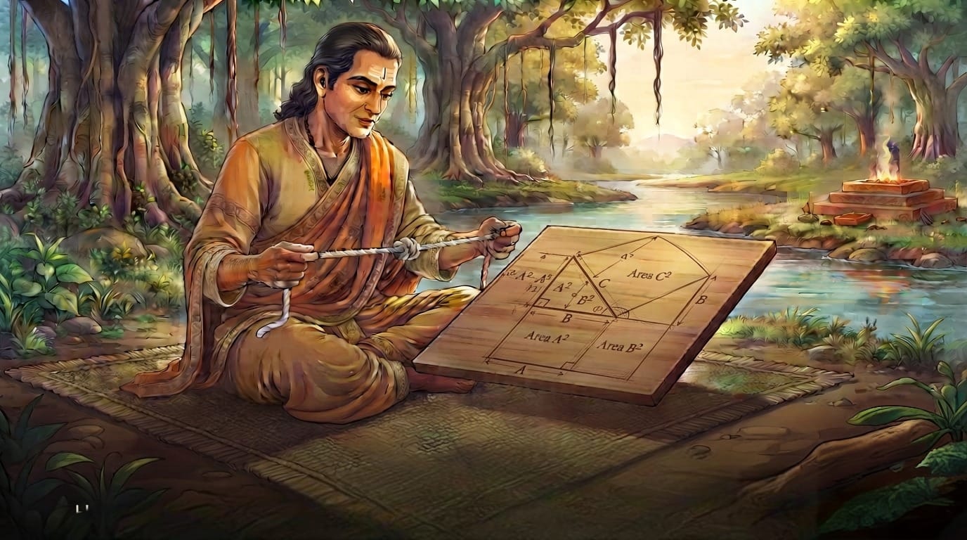

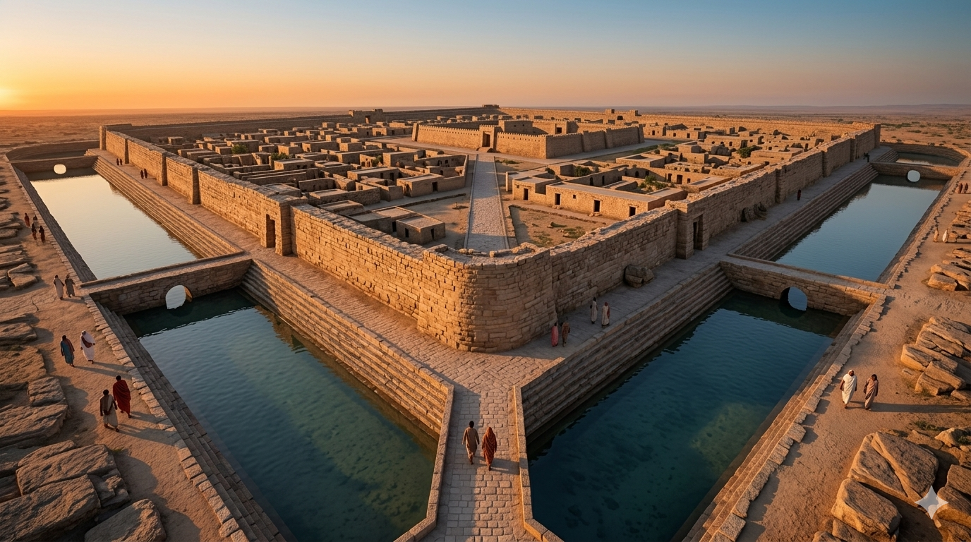
For centuries, the world was taught that the“Cradle of Civilisation” belonged to the valleys of Mesopotamia or the banks of the Nile. But buried under the white salt crust of the Rann of Kutch, on the island of Khadir Bet, lies a discovery that rewrites this narrative, a testament to a civilisation that did not just survive—it dominated its environment. While the contemporary world often looks toward the aqueducts of Rome (built roughly 2,000 years ago) as the pinnacle of ancient water management, the Harappan city of Dholavira was perfecting a far more complex system nearly 2,500 years before the first Roman stone was laid.. Dholavira is not just an archaeological site; it is a masterclass in civil engineering, a triumph of human will over a hostile landscape, and the earliest evidence of an Indian ethos that prioritised the “Common Good” over the “Ego of Kings.”
While the Great Pyramids were being built as tombs for the dead, the people of Dholavira were building a city for the living—a city that functioned as a living, breathing water-harvesting machine. Occupied from approximately 3000 BCE to 1500 BCE, Dholavira represents the zenith of Harappan urban planning. It was a city where the primary architect was not a priest or a king, but a hydraulic engineer.
I. The Geography of Defiance: A City Built on Grit
Dholavira sits on Khadir Bet, a patch of land surrounded by the Great Rann of Kutch. Today, it is a barren salt desert. In 3000 BCE, it was an island surrounded by the sea. However, the seawater was undrinkable, and the groundwater was brackish.
The Harappans didn’t settle here because it was easy; they settled here because they had the intellectual sovereignty to master the environment. Dholavira was situated between two ephemeral monsoon torrents: the Mansar to the north and the Manhar to the south. To understand the marvel of Dholavira, one must first understand its hostility. Unlike Mohenjo-daro or Harappa, which were fed by the perennial Indus.
For nine months of the year, these streams were bone-dry. During the monsoons, they were violent, unpredictable flash floods. The genius of Dholavira lies in the fact that they turned these two “threats” into their primary source of wealth. They did not build a city near water; they built a city that was a water-harvesting machine.
II. The Great Reservoirs: Scaling the Impossible
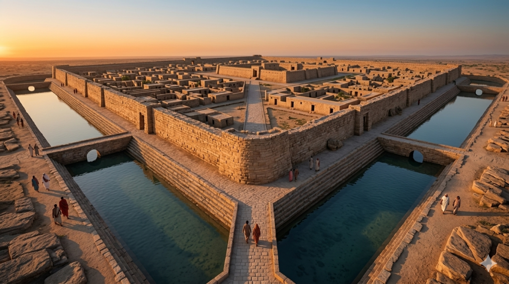
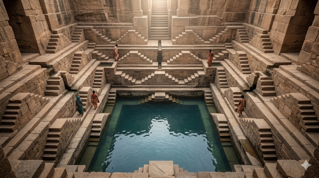
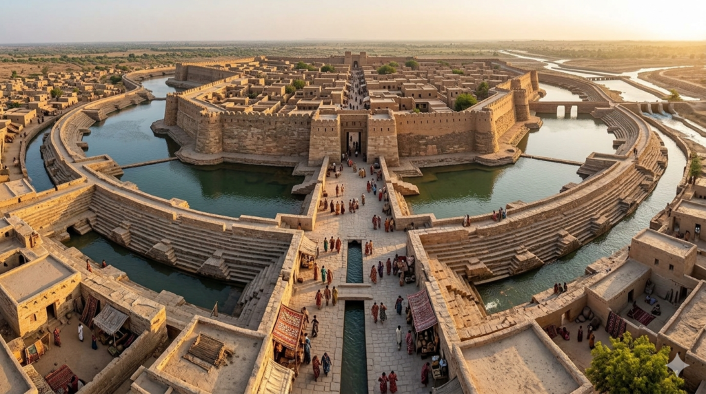
The most striking feature of Dholavira is its massive ring of reservoirs. Archaeologists have identified at least 16 large reservoirs that encircled the city, covering nearly 10 hectares of the city’s area.
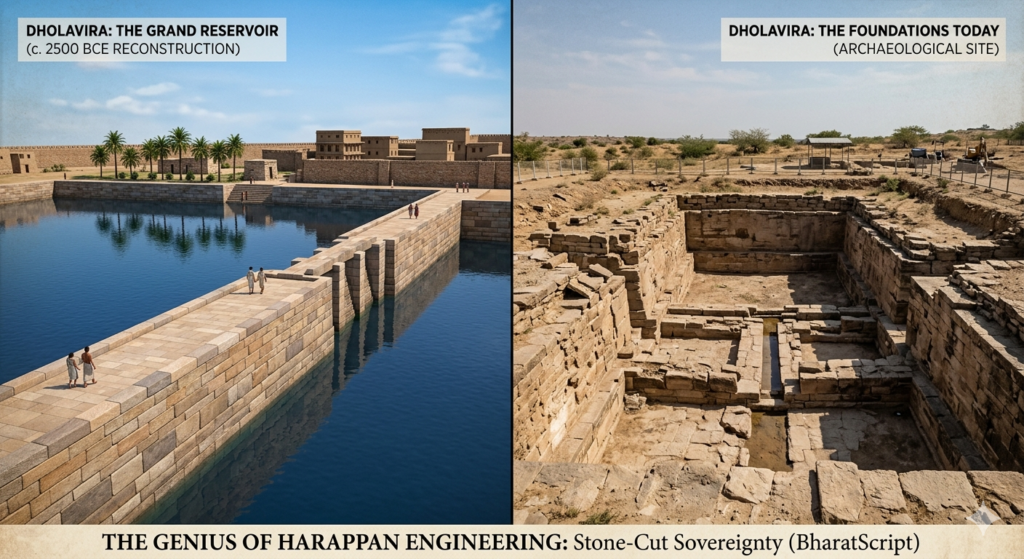
Scale and Capacity: These were not mere “tanks.” The largest reservoir measured approximately 73 meters long, 29 meters wide, and 10 meters deep. To put this in perspective, the total water storage capacity of the city is estimated to be around 250,000 cubic meters. To visualise this, that is enough to fill roughly 100 Olympic-sized swimming pools. In 2500 BCE, this was the largest man-made water storage system in the world.
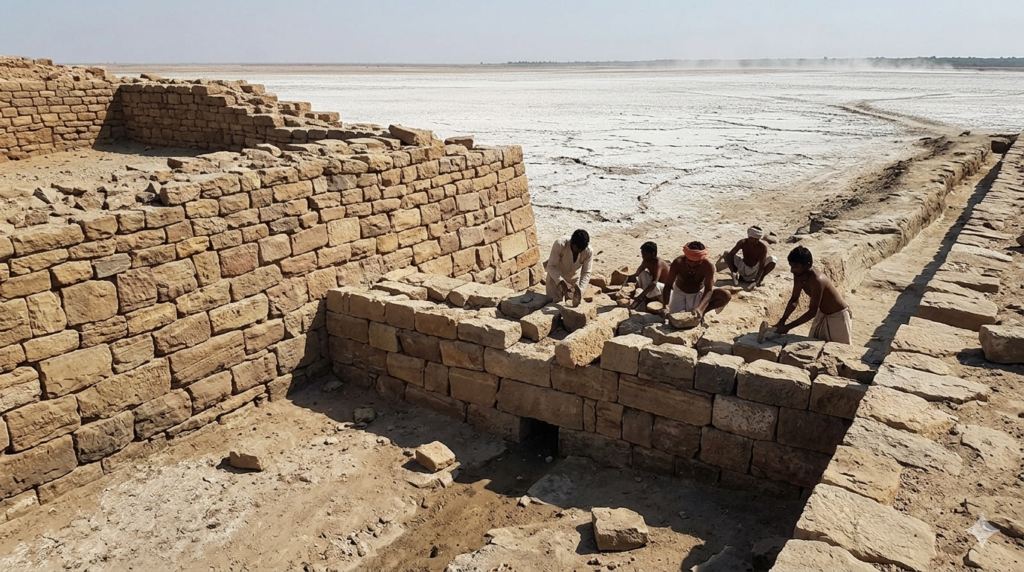
The Rock-Cut Revolution: While other Harappan sites like Mohenjo-daro used fired bricks, Dholavira utilized Lithic Technology. They cut through solid sedimentary rock with primitive but precise tools. This was an incredibly labour-intensive process, yet they chose it because stone-cut reservoirs prevented the seepage of precious freshwater into the salty soil.
The Stepwell Precursor: One of the most significant finds at Dholavira is a massive, rectangular rock-cut stepwell. Measuring 33.4 meters by 9.5 meters, it is the earliest known precursor to the famous stepwell (Baoli) architecture of India. It proves that the “Stepwell Culture” of Gujarat and Rajasthan has an unbroken lineage of 4,500 years.It proves that the Indian tradition of treating water as a sacred, communal resource—accessible by steps and celebrated as a “temple of water”—is 4,500 years old. When you stand at the Rani-ki-Vav or the Chand Baori, you are looking at the refined evolution of a design born in Dholavira.
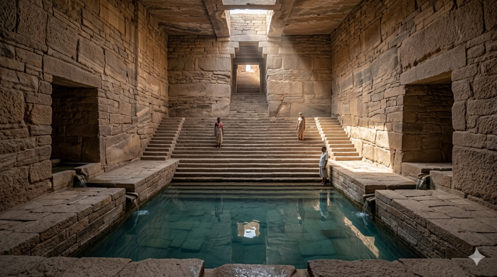
III. Cascading Hydraulics: The Philosophy of “No Drop Left Behind”
The Dholaviran engineers understood Fluid Dynamics long before it was a textbook subject. They created a “Cascading System.”Storing water is one thing; catching it from a flash flood is another. The engineers of Dholavira constructed a series of check-dams across the Manhar and Mansar streams. These dams were not meant to stop the water entirely—which would have caused the dams to burst—but to divert the flow into a sophisticated network of canals.
These canals were lined with stone and lime to ensure smooth flow and directed the water into the peripheral reservoirs. The system was tiered; once the upper reservoirs were full, the “spill-over” was channelled into lower reservoirs. This was a cascading water-management system that ensured not a single drop was lost to the Rann.
This ensured that even in years of low rainfall, the city had a tiered backup. They didn’t just plan for the “Good Year“; they engineered for the “Century Drought.” This is the ultimate lesson in Indian resilience: preparing for the worst-case scenario with a calm, mathematical precision.
IV. The Invisible Brilliance: Sand Filtration and Civic Purity
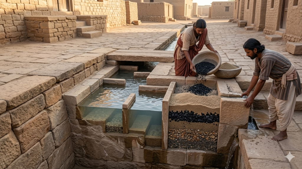
The most “human” part of Dholavira is found in its drains. The elite “Citadel” area, or the upper town—where the elite lived—had a network of stone-slab-covered drains. But before the water reached the community tanks, it passed through a series of settling tanks filled with sand and gravel.
Sand Filtration: In a stunning display of foresight, the Dholavirans used a series of settling tanks. Before the water entered the main citadel tanks, it passed through a system of filters made of sand and gravel to remove silt and debris. This is effectively a natural filtration system implemented 4.5 millennia ago. They understood that silt and debris would contaminate their drinking water, so they built “filters” into the very streets of the city. They valued the health of their citizens over the decoration of their palaces. In Dholavira, the most beautiful things were the things that worked—the drains, the reservoirs, and the filters.
Rainwater Harvesting: Every household in the Citadel was connected to the city’s drainage network, and evidence suggests that rooftop rainwater was harvested and channelled into private or community cisterns.
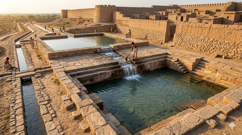
V. Urban Planning as a Military-Grade Strategy
Dholavira was divided into three distinct parts: the Citadel, the Middle Town, and the Lower Town. The water system was integrated into this social hierarchy.
The Citadel was built on the highest ground, ensuring that even in the event of a catastrophic flood, the heart of the administration was safe. Furthermore, the massive stone walls—some up to 18 meters thick at the base—were not just for defence against invaders; they acted as massive embankments against the force of incoming floodwaters.
VI. The “Signboard”: A Society of Order and Literacy
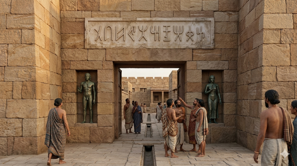
Near the northern gate of the Citadel, archaeologists found what is now famously called the Dholavira Signboard. It consists of ten large Indus script symbols, each about 37 cm high, made of white gypsum. This “Dholavira Signboard” is one of the longest Indus inscriptions ever found.
While the script remains undeciphered, its placement at the entrance of a city so obsessed with engineering suggests a highly organised civic body. This wasn’t a lawless settlement; it was a society governed by rules, labels, and shared information. They were proud of their city. They wanted you to know, the moment you walked through the gate, that you were entering a place of high civilisation and organised brilliance.
VII. The Fall: A Climate Narrative
The decline of Dholavira around 1500 BCE wasn’t due to war, but due to a massive tectonic shift and a changing climate. The rivers changed course, and the Rann, which was once a navigable gulf of the Arabian Sea, turned into a salt marsh.
As the water dried up, the city didn’t just collapse; the people tried to adapt. The later layers of Dholavira show smaller, circular houses (Bhungas), showing a return to a nomadic lifestyle. But the stone reservoirs remained, standing as silent witnesses to a time when India led the world in civil engineering.
Standing at Dholavira today isn’t just a “proud moment”—it is a humbling one. It challenges the “Linear Progress” theory—the idea that we are smarter today just because we have computers.
The engineers of the Harappan era solved the same problems we face today—water scarcity, urban heat, and civic management—using nothing but gravity, stone, and an intimate understanding of the Earth. Their mastery of lithic technology and hydraulic cascading proves that Indian infrastructure didn’t start with the British Railways or the Mughal Gardens; it started in the dust of Kutch, with a people who refused to let a desert define their destiny.
We often look at the West for “Development Models,” but Dholavira tells us that we have Symmetry and Science in our DNA.Equality in Infrastructure: While Egyptian pyramids served one man (the Pharaoh), Dholavira’s water systems served 20,000 people. It was a democracy of infrastructure.
Sustainable Living: They survived for 1,500 years in a desert. They didn’t deplete the earth; they learned the rhythm of the monsoon and danced with it. Standing in Dholavira today, looking at those stone-cut edges that are still sharp after 4,500 years, you realise that we are the descendants of the world’s first “Smart City” planners. Our history isn’t just about kings and wars; it’s about a silent, steady engineering genius that refused to let the desert win.
कर्मणैव हि संसिद्धिमास्थिता जनकादय: | लोकसंग्रहमेवापि सम्पश्यन्कर्तुमर्हसि || 3.20 ||
“As the great kings like Janaka attained perfection through selfless action (Karma Yoga), so should you perform your work with the aim of maintaining the world order and for the collective welfare of all.”
Disclaimer: “The imagery used here consists of historical reconstructions based on the site maps provided by the Archaeological Survey of India (ASI). They aim to visualise the architectural sovereignty of Dholavira as it stood in its prime.”
Primary Sources & References:
1.Archaeological Records: Excavations at Dholavira 1989-2005, Vol I & II, R.S. Bisht, Archaeological Survey of India (ASI).
2.Epigraphic Data: Analysis of the “Ten Sign” Gypsum Inscription, Northern Gateway, Stratum III.
3.Hydrological Study: Ancient Water Management Systems of the Indus Valley, UNESCO World Heritage Documentation.